Smithsonian science helps understand blue whale migratory and foraging patterns to inform conservation strategies
For good
measure
A global standard for forest carbon storage requires ground-based measurements
By Vanessa Crooks
To create a global standard for forest carbon storage, we need boots on the ground. The GEO-TREES system of forest plots offers this immediately: establishing a single method for forest carbon estimation at existing on-the-ground forest study sites around the world.
By recording the physical characteristics of an area from space, satellites map forests around the globe and estimate how much carbon dioxide—the main greenhouse gas causing global warming—these forests absorb. However, satellite sensors need to be calibrated, and the resulting estimates obtained need to be independently validated by another source, to make sure that they are as accurate as possible.
This is the goal of GEO-TREES, a multimillion-dollar system launched in 2023, which coordinates researchers from existing forest study sites around the globe to map and track forest carbon in near real time and to verify estimates based on satellite imagery, from the ground up. These measurements will be used to develop a standard global formula for calculating forest carbon storage.
Not all forests are the same. Tropical forests are very diverse, and different species of trees store different amounts of carbon. So, to calculate how much carbon a particular tree can absorb, we need to measure actual trees, each one by hand.
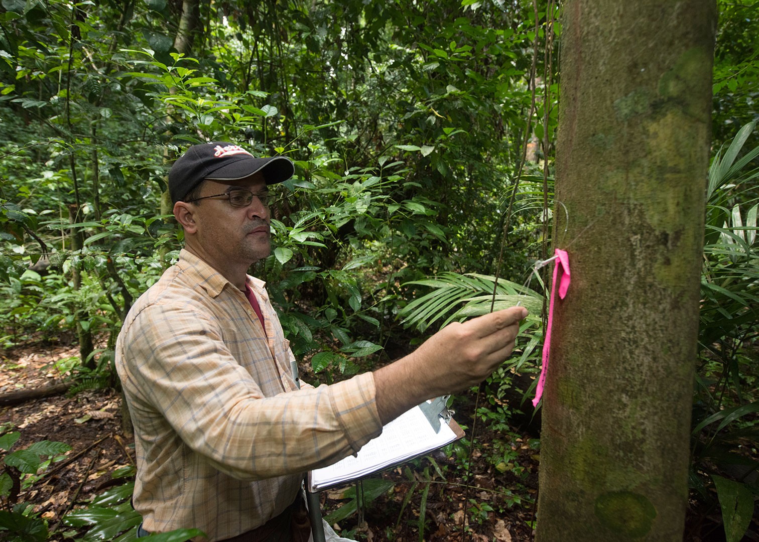
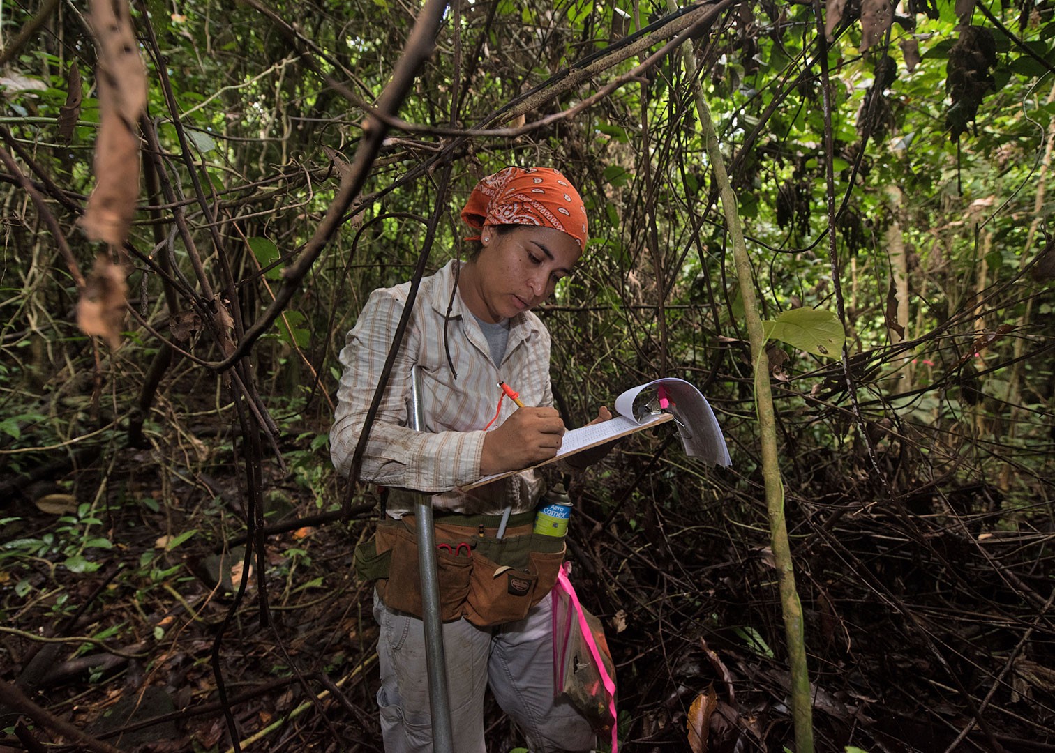
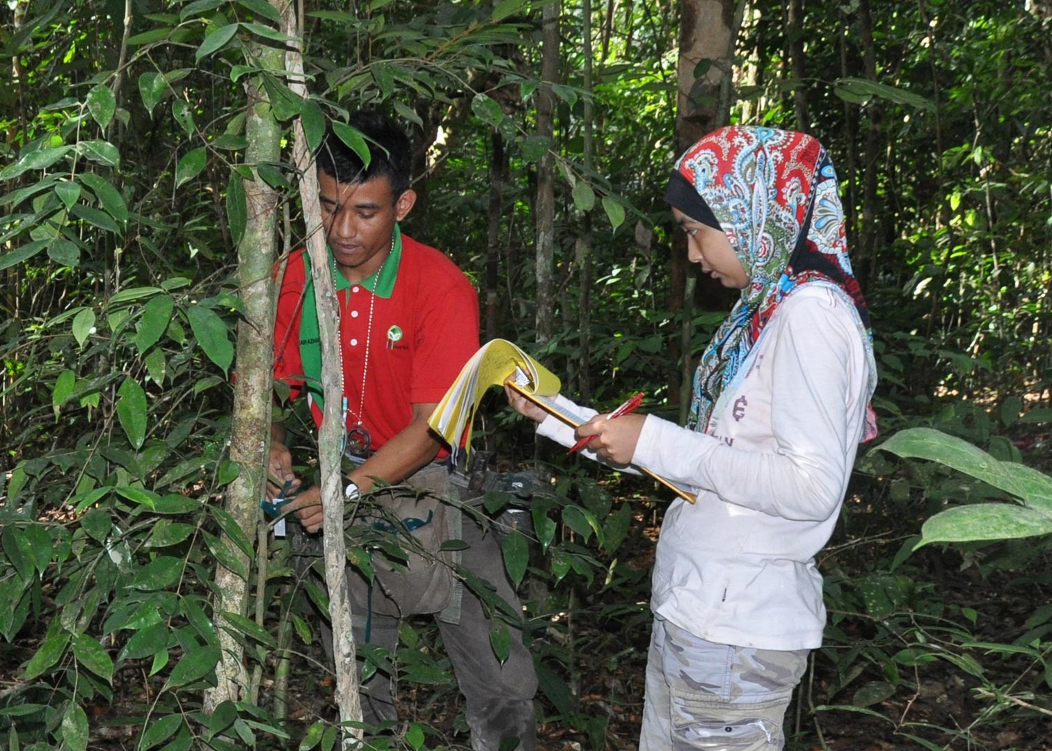
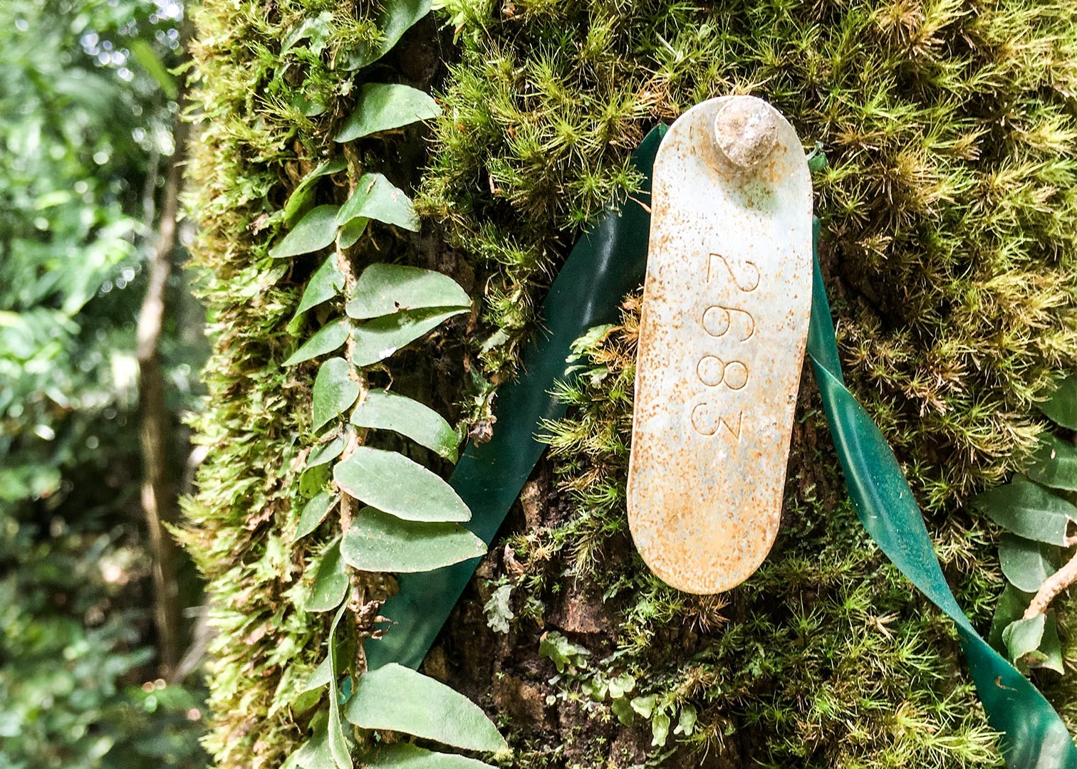
“Every tree more than one centimeter in diameter is measured—at least its diameter at breast height or DBH, which is approximately 1.30 meters—that is the botanical standard,” said Salomón Aguilar, research technician at the Smithsonian Tropical Research Institute (STRI) who has censused forests since 1985, and who is now part of the Forest Global Earth Observatory (ForestGEO), the largest global network of scientists and forest research sites engaged in long-term forest studies.
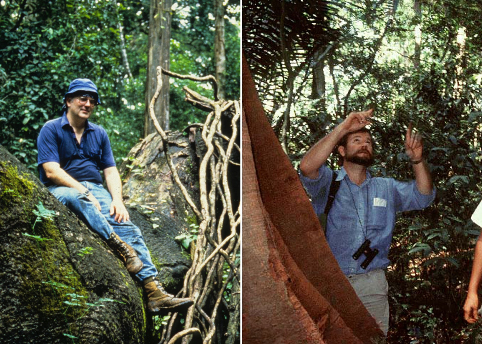
The 50-ha plot on Barro Colorado Island in Panama was established in the 1980s by Stephen Hubbell (right) and Robin Foster and became the standard for tropical forest censuses through decades of work and a growing database.
Credit: STRI Archives
“You can see with every census how they change, and you discover new things, new patterns. Like if a species grows faster or slower under certain conditions, and whether it has to do with some species becoming more resilient as climate change becomes harsher, and you adjust the methodology to include those variables, and this requires consistency,” he added.
The Smithsonian ForestGEO network, along with forest plot networks Tropical managed Forests Observatory (TmFO) and ForestPlots.Net, provide that ground data by creating and implementing a standard reference system.
What is now known as ForestGEO began with a single 50-hectare plot established in 1982 by ecologist and taxonomist Robin Foster and biologist Stephen Hubbell, on Barro Colorado Island (BCI), the first STRI research station, located in the freshwater reservoir of the Panama Canal. Working with Aguilar and research technician Rolando Pérez, who joined in 1986, they pioneered the methodology to perform tropical forest censuses to create a database of forest dynamics.
This project was called Tropical Forest Dynamics Project, which later included one-hectare plots around the Panama Canal Watershed. In the 1990s, the Center for Tropical Forest Science (CTFS) was established, and included plots in Asia, Africa and South America. CTFS became ForestGEO with the addition of the temperate forest plots in the US in 2013, and with STRI staff scientist Stuart Davies as director, and now coordinates 78 forest research sites across the Americas, Africa, Asia, Europe, and Oceania. With over 40 years of accumulated experience in long-term monitoring, ForestGEO is also the most reliable and precise database on forest ecology and forest dynamics.
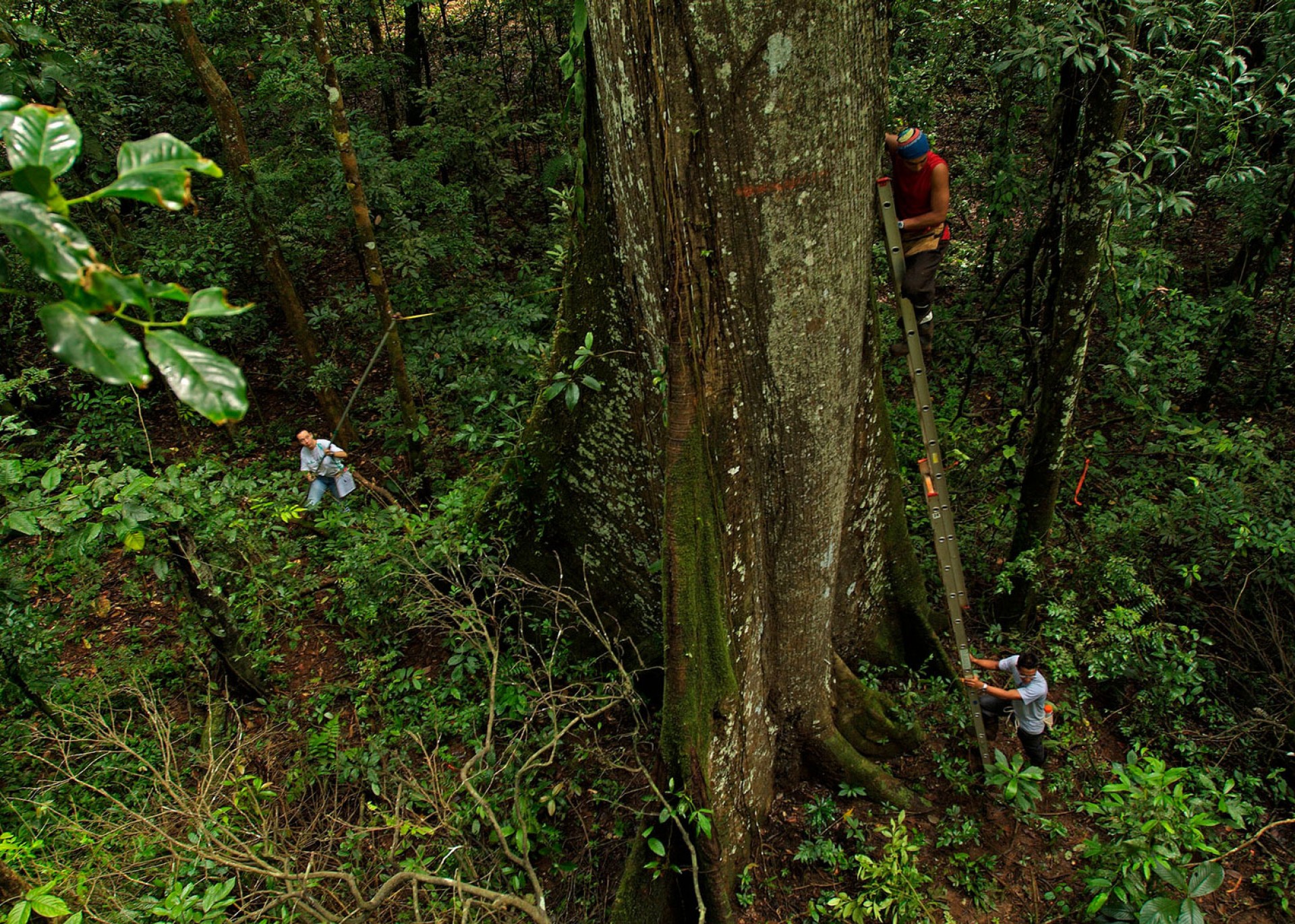
While the botany standard is to measure every tree of one or more centimeters of diameter at DBH (diameter at breast height, about 1.30 meters), some trees species, like this one in BCI, grow buttress roots that can reach up or above 1.30 meters in height; those trees have to be measured above that to get the actual diameter of the tree trunk, since roots don’t count toward woody biomass.
Credit: Christian Ziegler.
However, researchers like Pérez and Aguilar understand that there’s more to it than measuring trees and writing down numbers.
“The 50-hectare plot on BCI was the first large-scale plot for long-term monitoring of tropical forests and provides crucial tools for researchers to understand how tropical forests and their inhabitants change through time,” said Pérez. “I have coordinated the censuses since 1995 with Salomón, and we’ve been responsible for identifying close to 25,000 new individuals that appear with each census. We have also trained hundreds of students, technicians, biologists, ecologists, and more, and I think a big part of the success of the 50-ha plot, compared to other research sites in the ForestGEO network, is having a team of field assistants trained well in identifying plants and collecting the data fast and with precision.”
From the ground up
Trees that measure up to one centimeter in diameter at the height of 1.30 meters are big enough to produce woody biomass—trunk, branches, leaves, bark—which is what captures carbon. But climactic conditions and forest dynamics also play an important role in how much carbon trees can absorb. Thus, having a designated place for these observations, with decades of previously collected data, comes in handy.
“The purpose of these plots is to be an easy and accessible tool for researchers to study plants, see patterns, and carry out experiments. Whatever species you’re looking for, it’s already in the plot, tagged and mapped and catalogued,” stated David Mitre, research manager at ForestGEO. “This also makes the data consistent, verifiable, accurate and reliable. Every time we do the census, we want to have the most reliable and consistent data, always.”
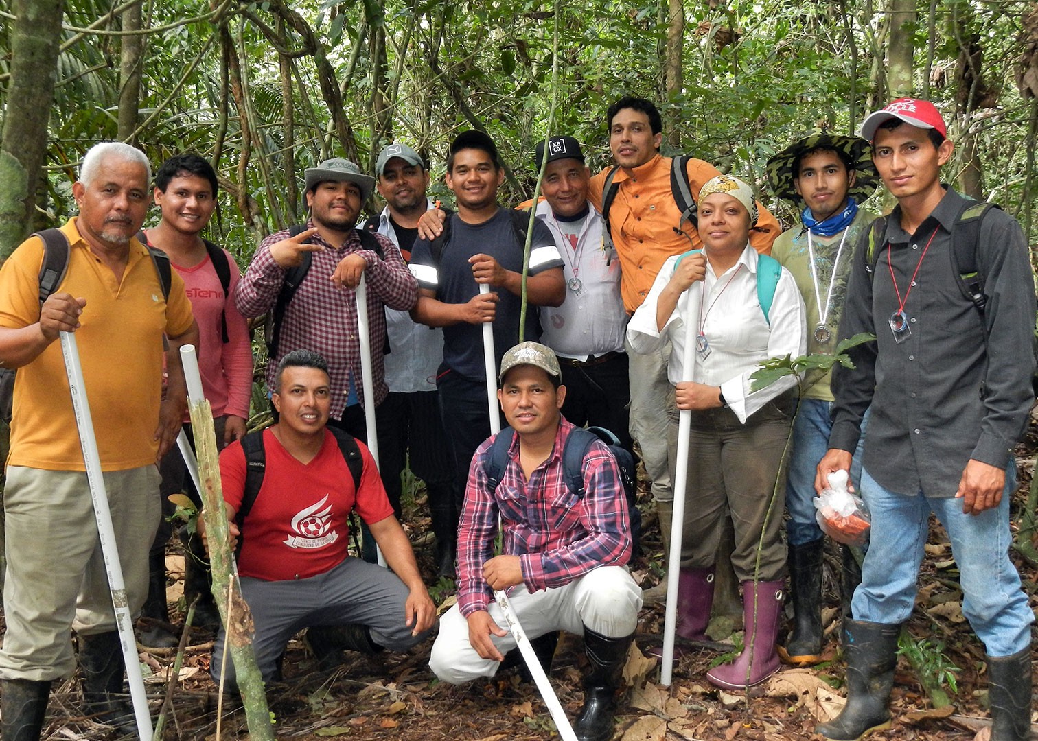
Carrying out a forest census is not easy; it requires a lot of training, good physical condition, mental resilience, a good sense of direction, and enough botanical knowledge to tell tree species apart. After a months-long period of preparing for each census, the members of the team walk to the plots early every morning for ten months, measure every tree, collect the data and maintain the plot. This census takes place every five years.
Until recently, technicians had to collect the data on forms and maps printed on paper, then hand over those papers to database manager Suzanne Lao back in the office; after Lao “cleaned” the data and detected any errors, like marking the incorrect location of an existing individual or forgetting to measure something, the team would have to go back out, correct the errors, collect any data they had missed, fill out any spaces they had left blank, and then resubmit. This would be repeated until the data was correct and would still undergo more revisions from Pérez and Aguilar and finally from Davies; then it was ready to be published, months and sometimes even up to a year later.
Nowadays the process is much more streamlined; after a few attempts at using other systems, the team decided to use ArcGIS (the platform for the Geographic Information System software). Since the 2020 census had to be postponed due to the COVID-19 pandemic, and Panama was under strict lockdown, the team had a chance to work on migrating everything onto the platform; Mitre worked remotely with STRI GIS expert Milton Solano to develop a GIS form for the census, basically transferring and translating the methodology that was developed in the field into a digital format; instead of writing down all the data on paper, the team would now use iPads to fill out the forms. Besides making the census data collecting faster and more precise, with fewer errors along the way, this system also enables the data to be available sooner.
“We are collecting, verifying and correcting in the field as we go,” explains Mitre.
“And it also makes it easier to share the methodology with other research sites, so they can replicate it in their plots,” Aguilar adds.
Forest dynamics
Just as the plots and ground measurements have become the cornerstone of GEO-TREES and satellite-mapping, the cornerstone of the forest plots is the taxonomic database and the people skills to identify species.
“I think that a lot of people have this idea that tropical forests all look like a jungle and they all kind of look the same, and nothing could be further from the truth,” states STRI senior staff scientist Helene Muller-Landau, whose forest ecology lab collaborates with ForestGEO.
Species identification is an essential part of forest censuses, and subsequentially of carbon counting. Trees species vary in wood density, structure, growth rate, so they all produce different amount of biomass, and therefore store different amounts of carbon. Tree allometry is used to calculate biomass, by correlating the measurements of each tree with the characteristics of its exact species to calculate its volume.
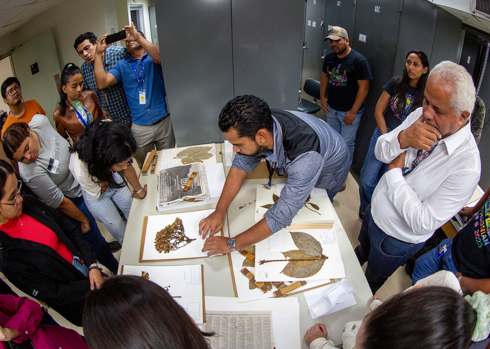
The ForestGEO office at the STRI Earl S. Tupper Research, Library and Conference Center has its own small herbarium, a carefully catalogued reference system containing samples from all 306 species of trees and plants on BCI, plus all the species from the Canal area plots. They also heavily rely on STRI’s Herbarium, officially named the Summit, Canal Zone or SCZ herbarium, an essential tool for forest ecologists.
However, training people to do the fieldwork and emphasizing species identification is still a priority to the team.
“Being out there on the field, you begin to understand what happens in the forest,” says Aguilar. “You start to see how some species are more resilient than others as conditions change.”
The SCZ Herbarium, located in STRI’s Earl S. Tupper Research, Library and Conference Center, contains more than 6,000 specimens; managed by Ernesto Campos and Joana Sumich, the herbarium is an important tool to verify plant species that come up every census. Pérez, Aguilar and Mitre lead a course on dendrology (scientific study of trees and woody plants) at the SCZ Herbarium.
Credit: Jorge Alemán, STRI.
As the effects of climate change increase, due to carbon emissions from human activities, understanding forests is more crucial than ever to mitigate carbon emissions globally. The goal of GEO-TREES, by partnering the Earth observation community and their satellites with forest research sites monitoring different types of forests all over the globe, is to do this faster and more precisely.
“The Earth observation community has been investing enormous amounts of resources to monitor biomass from space. The fundamental problem with that system is that we don’t have a global, independent, transparent system to validate this data from space,” stated Davies at the launch of the GEO-TREES initiative during the United Nations Climate Change Conference (COP28) event “From Ground to Space: The Future of Forest Carbon”, held in Dubai in November and December 2023.
Funded by the Bezos Earth Fund and most recently by the Gordon and Betty Moore Foundation, GEO-TREES will solve the problem of calibration and validation of the data provided by the Earth observation community, by using the extensive data on forest diversity and dynamics built, across thousands of plots from different forest all over the world, and by building a set of standard protocols to map and monitor forests.
“The way this can succeed is it needs to benefit both sides,” added Davies. “It needs to benefit the Earth observation community by being open access. Anyone who is interested in biomass patterns and dynamics can access this information. But it needs to benefit the ground observation community, the networks of plots, by building equity into the sampling and measuring and monitoring of these forests, training and capacity building and technology transfer.”
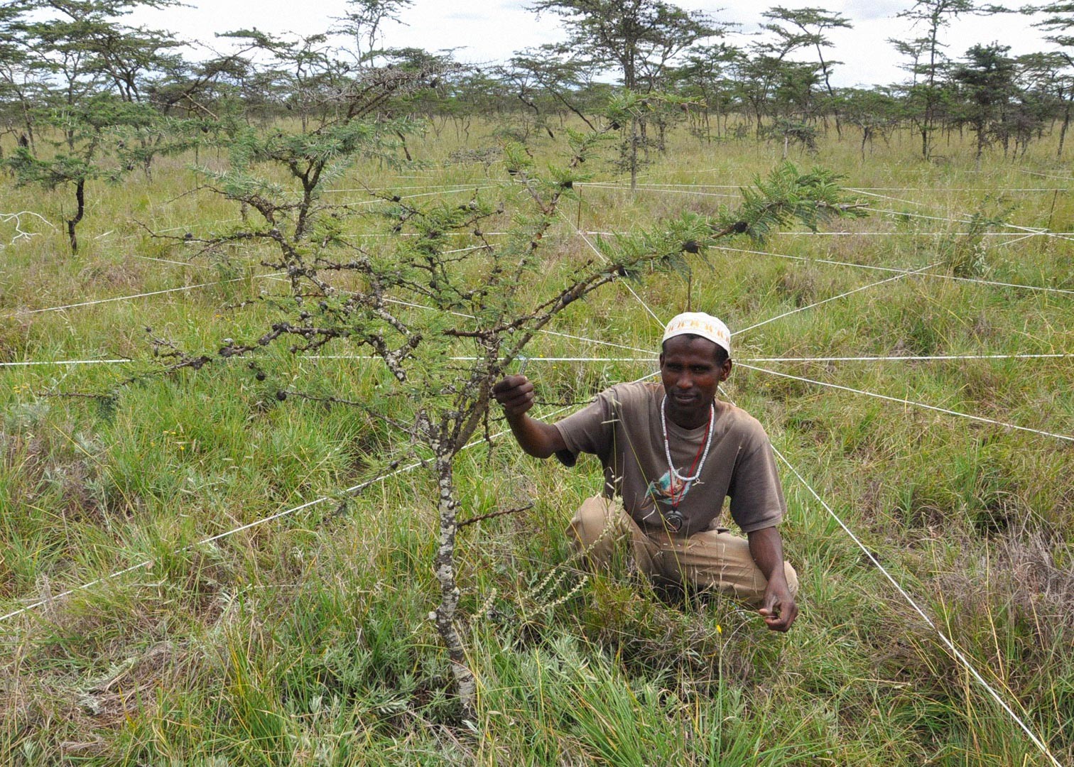
These goals are built into the GEO-TREES initiative, which already includes 30 forest plots around the globe.
“The goal of GEO-TREES is to have 100 forest plots, carefully selected from a variety of regions and climates,” explains Lauren Krizel, ForestGEO’s program manager. “And the good thing is that the infrastructure is already there.”
“The ground measurements will continue to be necessary,” states Mitre. “As conditions change, as temperatures rise, as precipitation diminishes, we start to see how these things affect forests. We might see other species thriving, species from dryer areas… What is going on in those forests? What’s going on in cloud forests? We need to include plots from all over the world, to get a more representative sample. That’s where we’re heading.”
The Smithsonian Tropical Research Institute, headquartered in Panama City, Panama, is a unit of the Smithsonian Institution. The institute furthers the understanding of tropical biodiversity and its importance to human welfare, trains students to conduct research in the tropics and promotes conservation by increasing public awareness of the beauty and importance of tropical ecosystems.

