Smithsonian science helps understand blue whale migratory and foraging patterns to inform conservation strategies
Field Notes
Visiting Bacurú Drõa, a community-led study of forest giants in Eastern Panama
Panama
Text and Photos, Beth King; Video, Analicia López
The importance of community participation and consent in all aspects of tropical forest research in indigenous areas is critical but can only be achieved through creating space for dialogue.
The Bacurú Drōa forest monitoring project involves six communities along the Las Balsas river, very close to Panama’s border with Colombia. On one of her most recent visits to the project, research associate and McGill University professor Catherine Potvin invited Analicia López, a Guna videographer, to document the experiences community participants. My story is more of a travelogue, which was not published when Catherine invited me to visit in July, 2022, because the communities were still in the process of signing the agreements to formalize the project.
A cement ramp descends from a crowded parking lot into the brackish sludge of Panama’s Rio Iglesias, one of a dozen tributaries flowing toward a vast coastal union of waters where the Tuira River slam dances with Pacific Ocean tides. Our small group of residents, scientists and communicators will travel upstream to Manené, an Indigenous Embera town deep in Darién Province near the Colombian border, home to a unique, community-led forest monitoring project based on both local and scientific world views.
Camouflage-clad guards from the National Border Patrol (SENAFRONT) help stuff our gear into blaze orange trash bags and load the motorboats. And when we finally set off, time slows. With the endless hum of 200HP motors parting dark green water as the soundtrack, the guard on the prow watches for snags, grinning and cradling his machine gun loosely: his expression says daytrip, not trepidation.
As we merge into the Rio Balsas, yet another tributary, the mangrove-clad edges of the great Tuira River cede to leafy stretches of shoreline interrupted by an occasional plume of smoke from a house on stilts, draped with blue plastic tarps and drying laundry. Dogs trot down to the river’s edge to sniff and bark, stepping gingerly around plastic washtubs.
And as we continue upriver towards Colombia, the district of Chepigana lies on our right, and the Comarca Emberá-Wounaan, an indigenous territory created by Panamanian law in 1983, slides by on our left.
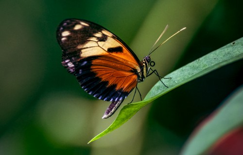
I sit up front with Homalía Flaco, a schoolteacher returning from Panama City to Manené, one of six communities that flank the Rio Balsas. Homalía says that July is the month of butterflies. This river is their highway, too: yellow sulfurs, blue morphos, iridescent Urania moths.
Brais Marchena and Catherine Potvin
“After the Amazon, this is it”
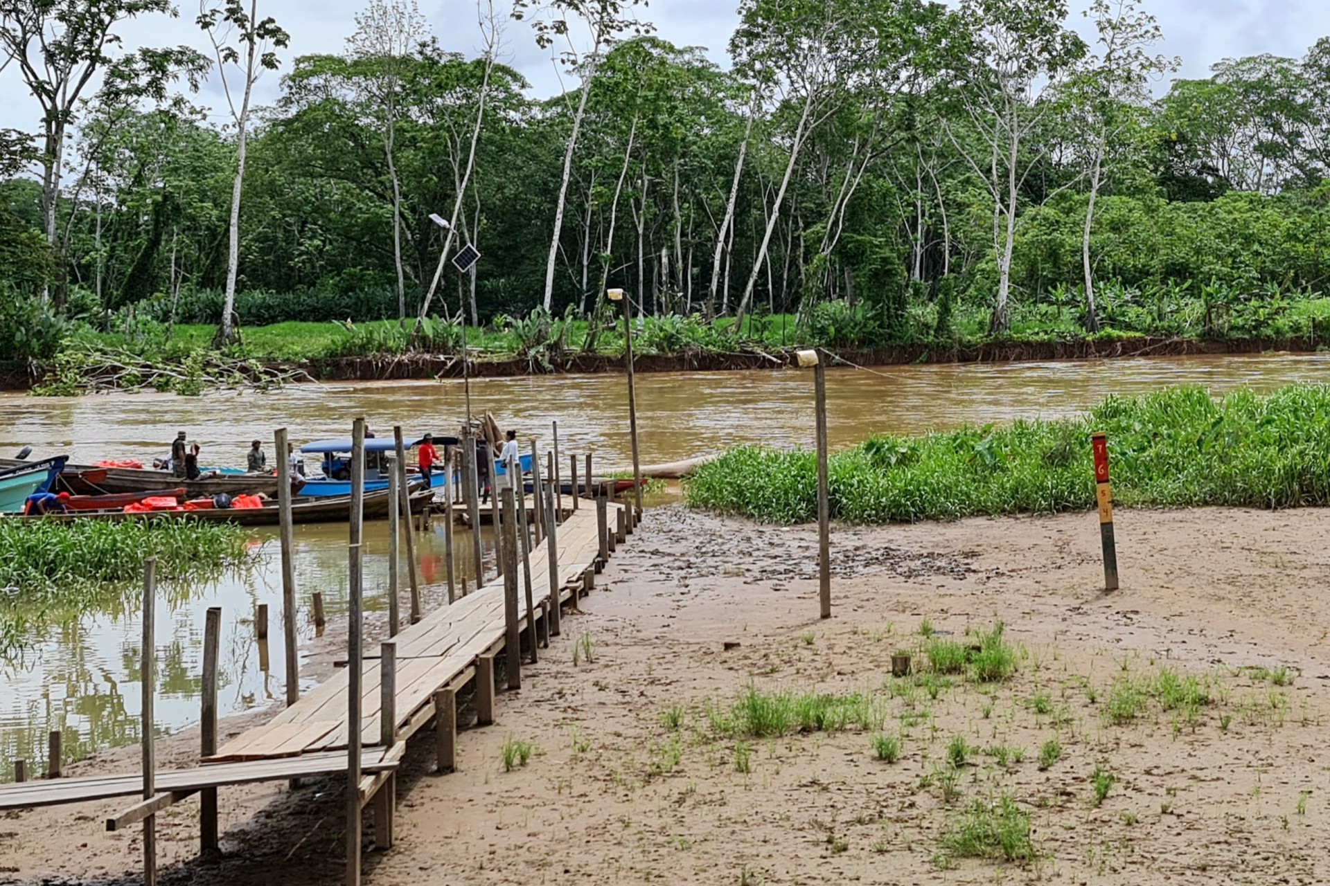
Hours upriver, we come to an old wooden dock zigzagging across a mud flat where we will switch out the motorboats for three of the biggest dugout canoes I’ve ever seen—each carved from a single, enormous tree trunk. Catherine Potvin, McGill University professor and research associate at the Smithsonian Tropical Research Institute (STRI), smiles when she sees who’s here to greet us: Leonardo Casama, the regional Emberá leader, or cacique, himself. As the Emberá men balance baggage in the cayucos, we go around the side of the building to get out of the midday sun and Catherine tells us more about where we’re headed.
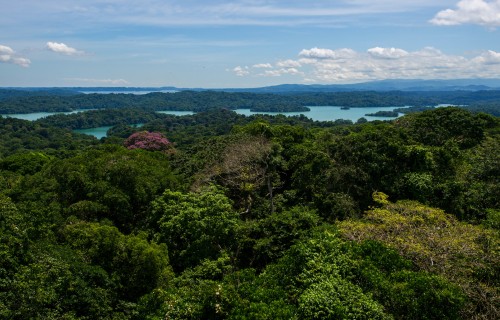
“You see, after the Amazon this is it,” she explains. “This is the core of the second-biggest piece of intact rainforest in the Americas.” Where we’re headed, the Tumbes-Chocó-Magdalena biodiversity hotspot, extends along eastern Panama’s Pacific slope to Colombia’s Magdalena Valley, and rides Ecuador’s Pacific coast before dipping into the northwest corner of Perú. It’s home to more than 9,000 plant species, at least 2,700 of them found nowhere else on Earth. There are endangered species of amphibians, mammals, and fish, too, which are endemic here, too.
Despite this astonishing biodiversity, Catherine says “There are not that many options for people to make a living.” Here, although the only gap in the Pan-American highway between Alaska and Tierra del Fuego prevents easy extraction of the forest, this region has become a passageway for illegal immigrants; in 2023, a record half million children, women, and men from points as distant as Somalia traversed the Darien Gap. This no man’s land between Colombia and Panama, almost 100 kilometers (~60 miles) of steep and swampy jungles harbours both natural and human threats, making the journey treacherous for migrants. Residents keep their heads down, but there are few legitimate ways to join the cash economy other than selling plantains, making traditional baskets or woodcarvings, becoming a teacher or enlisting in the police force.
Catherine, who first came upriver decades ago to meet the jaibaná (traditional Emberá healer) grandfather of one of her students, hopes to create another sustainable alternative. She and her husband, an entomology professor at the University of Panamá named Héctor Barrios, scraped together research funds in the last several years to employ 53 residents from Balsas River communities to census the biodiversity of the surrounding forests. With the support of community leaders and Traditional Emberá Authorities, they established a permanent forest monitoring plot. Catherine is working to make this the first community-informed forest monitoring plot in the Smithsonian Forest Global Earth Observatory (ForestGEO), an international network spanning 29 countries. She hopes to keep members of the Las Balsas communities employed while attracting national and international researchers who are fascinated by old growth tropical forests and the delicate balance between nature and humanity.
“Long ago, I was chatting with Manuel Ortega, a Manené community elder who was involved with community mapping in the 1990’s with University of Kansas geographer, Peter Herlihy, about bringing Canadian students to ‘discover’ the forests here, and he said ‘discover what? We already know what is here,’” Catherine explains. “And that’s true, they do…so we’re taking another approach: we’re working with people from the community who already know about the plants and animals to learn together, and we would love it if this could be ForestGEO’s first forest-dynamics study site that is truly a culturally-informed, community project.”
Along the way, Catherine learned a lot about mutual respect: the only way this project will succeed is if both the local and regional indigenous authorities are consulted and agree to each step along the way. And that is why we’re here on this trip, to ask for permission to create a web page and an exhibit about the forest census project and to teach computer skills to project technicians from the community. For Catherine this is critical. She and her team will explain to tribal authorities that technicians mastered skills from measuring tree height and diameter with a measuring tape to taking geographical positions with GPS, to scanning trees with LiDAR. But for them to really own the research project, they need to become familiar with computers, data base management and mapping.
When the cayucos are loaded, we leave the shade behind, and continue upstream.
Kids play in the rain
Manené
The Emberá have a saying: “Don’t eat eggs for breakfast when you plan to go the forest or you will attract snakes.” Because our agenda will keep us in town, we wake up in our tents and hammocks to the smell of scrambled eggs, hojaldres (frybread), coffee, and hot chocolate made by cooks that live several houses away. In the bushes outside the rancho where we eat breakfast, Darién points out a plain tanager, a Pacific ant wren and a rufous-breasted hermit to Brais Marchena, a Panamanian student who will teach the computer skills workshop.
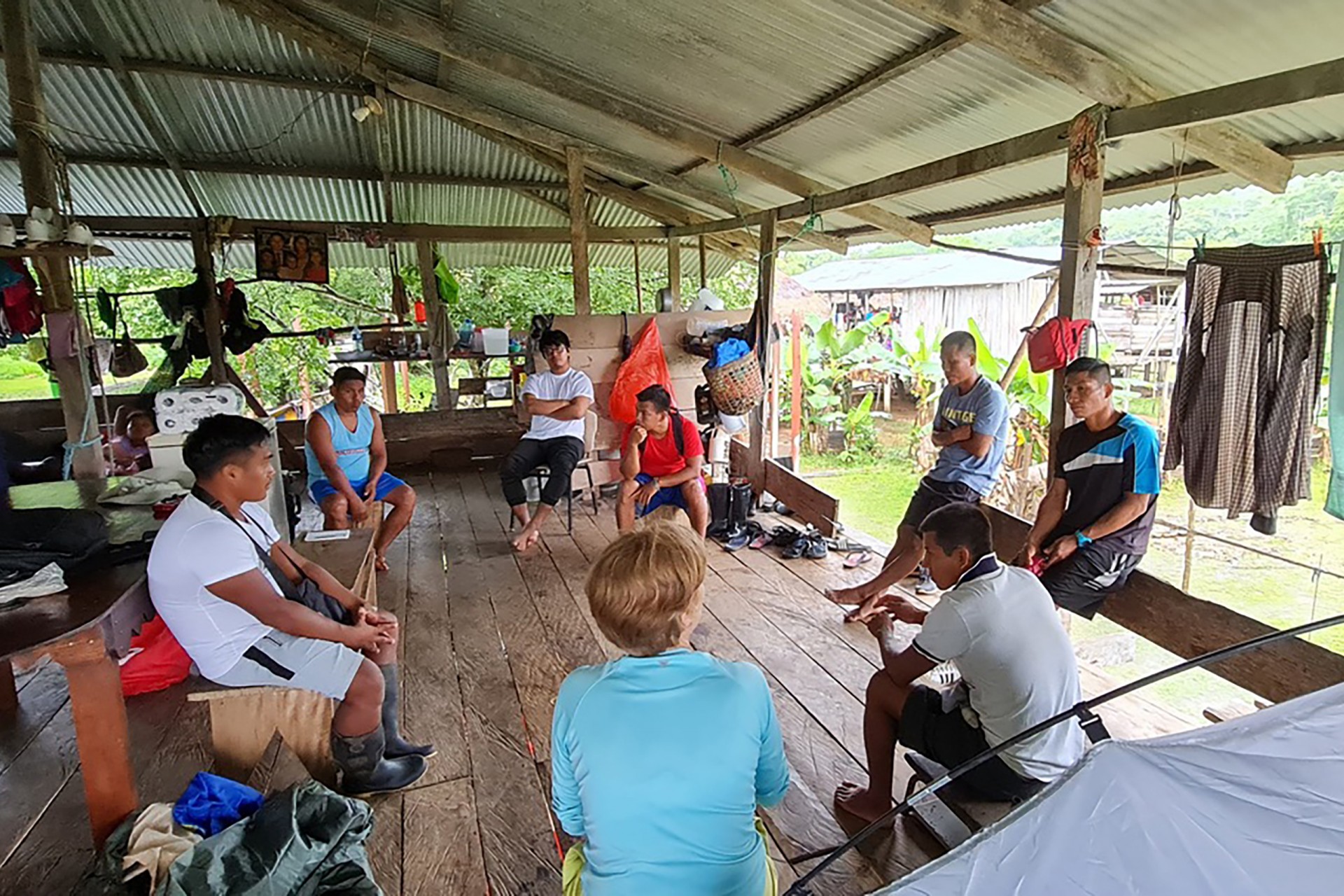
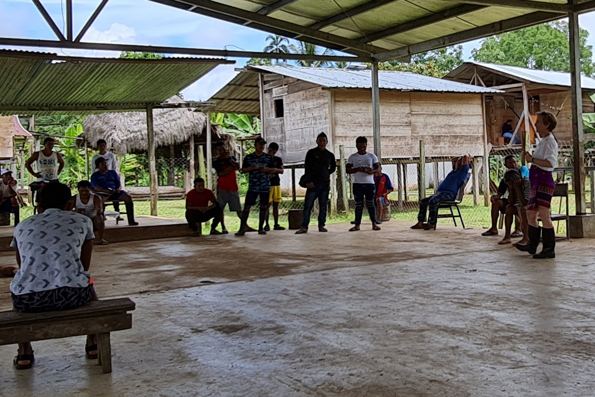
After breakfast, we go to the community meeting house as folks trickle in for the day’s discussion of Catherine’s new proposal—first the local project technicians, and finally the authorities.
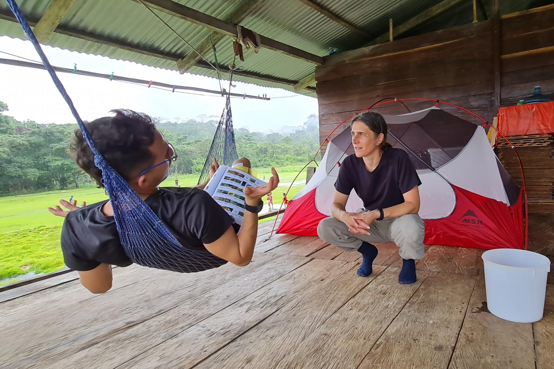
As we wait, Catherine asks Gilardo Papelito, traditional botanist, how he teaches his Emberá students which plant is which. She’s fascinated because most of the Emberá names for plants correspond to our Latin species names, although there are exceptions in both directions: some species don’t have Emberá names and other plants have Emberá names but are not considered distinct species by scientists.
Speaking of names, Catherine seems to know everybody; women call to her to come up to their house to meet a new baby, and she joins them on a porch overlooking the common area…and they show her pictures of their other children, who have grown up and had children of their own in the time since Catherine first came here.
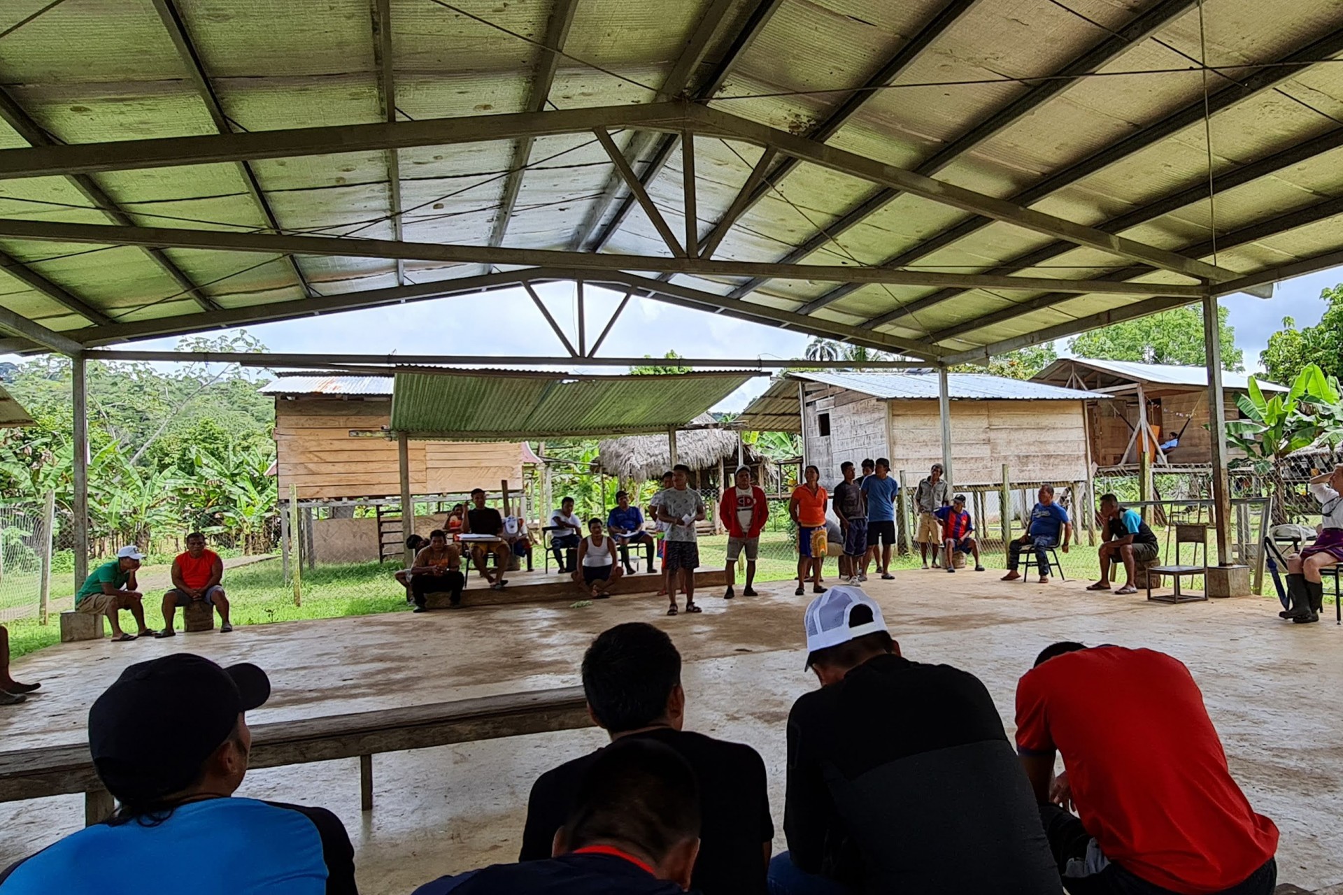
When the meeting begins, Francisco Solís, the noko, or village chief of Manené, introduces Cacique Leonardo Casama and Alberto Chamoro, president of the Balsas’ Community Regional Congress. Then, the authorities ask the forest project technicians—all young people from the Rio Balsas communities—to describe what they’ve learned so far. With a grant from Panama’s Secretariat for Research and Technology (SENACYT) secured by Héctor Barrios and funding from other sources rounded up by Catherine, their team has already mapped more than 3,000 trees in 10 hectares between January and June 2022.
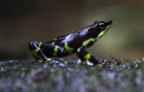
One team took a tree climbing course to better explore the canopies of the giant trees in the plot. They described the knots they learned, which had already proven useful to attach safety lines across a dangerous river crossing. The biodiversity team talked about setting up camera traps to record mammal diversity and working with Heather Gray, herpetologist participating in the expedition, to document frogs and salamanders. The team trained to image the 3D structure of the forest using LiDAR, laser technology, joked about a rumor that they were tagging trees to be cut. Catherine boasts that Alexis and the technicians did an amazing job of laying out the plot with a theodolite: the final measuring error, 3m for a 10-hectare plot, was less than it would have been if he had used a GPS, satellite-based mapping system.
In the end, Catherine expressed her gratitude to the authorities for considering the proposal. They reaffirmed their interest in the project known locally as Bacurú Drõa—Old Trees in Embera—and granted us permission to visit the communities to discuss the project’s advances. They encouraged us to hurry, because there would be a big celebration of the anniversary of a school downriver on the weekend so people would be leaving the smaller towns to join the festivities.
Far Upriver
Despite a night of heavy rain and world-splitting thunderclaps, we head to Buenos Aires, the last village on Rio Balsas and the closest settlement to the Colombian border. We leave with a dozen group members, some villagers hitching a ride, and the SENAFRONT guards, in three cayucos. After some nerve-wracking rapids, we got off the boats and headed into the forest for a two-hour hike to the next town along the way, Buena Vista.
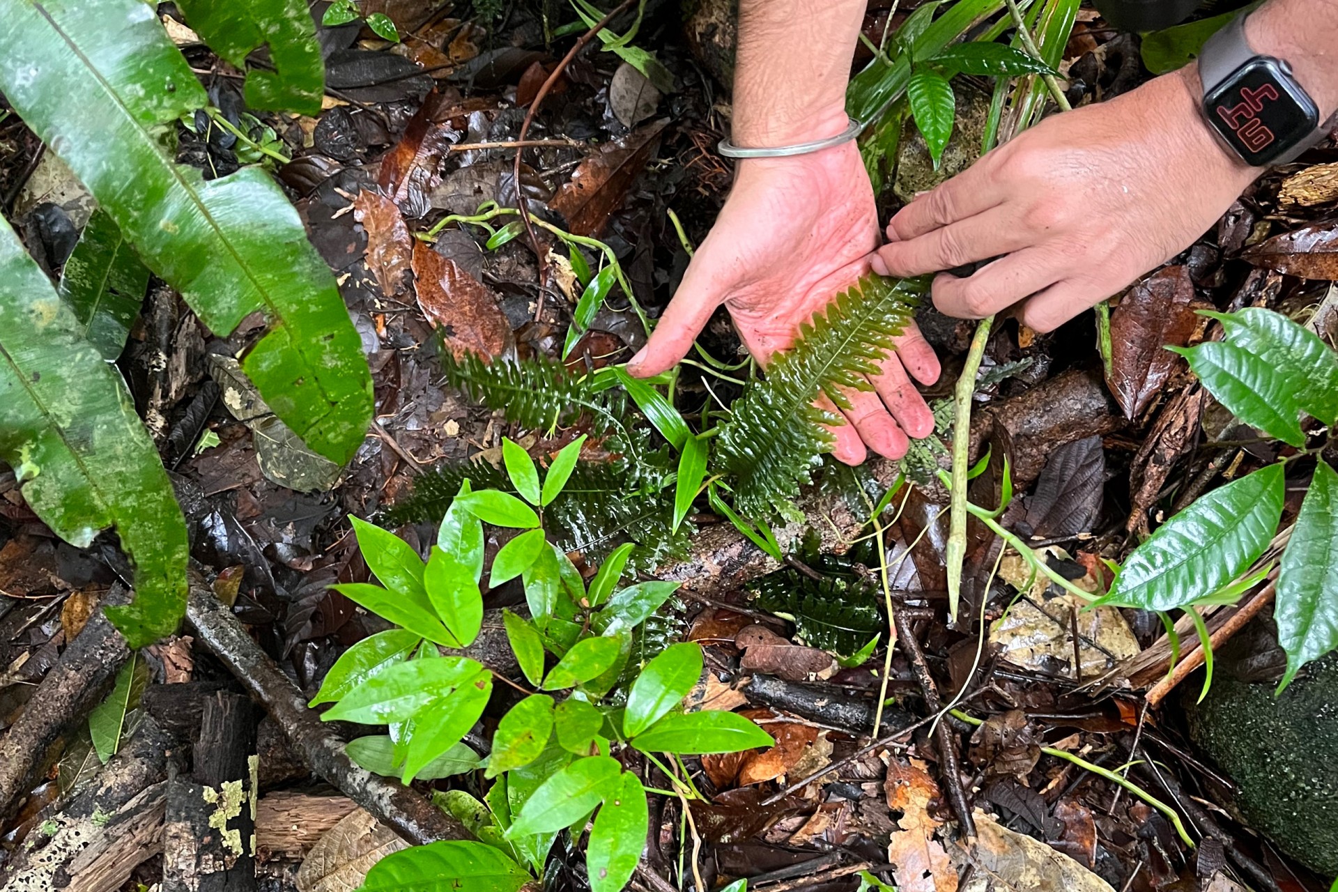
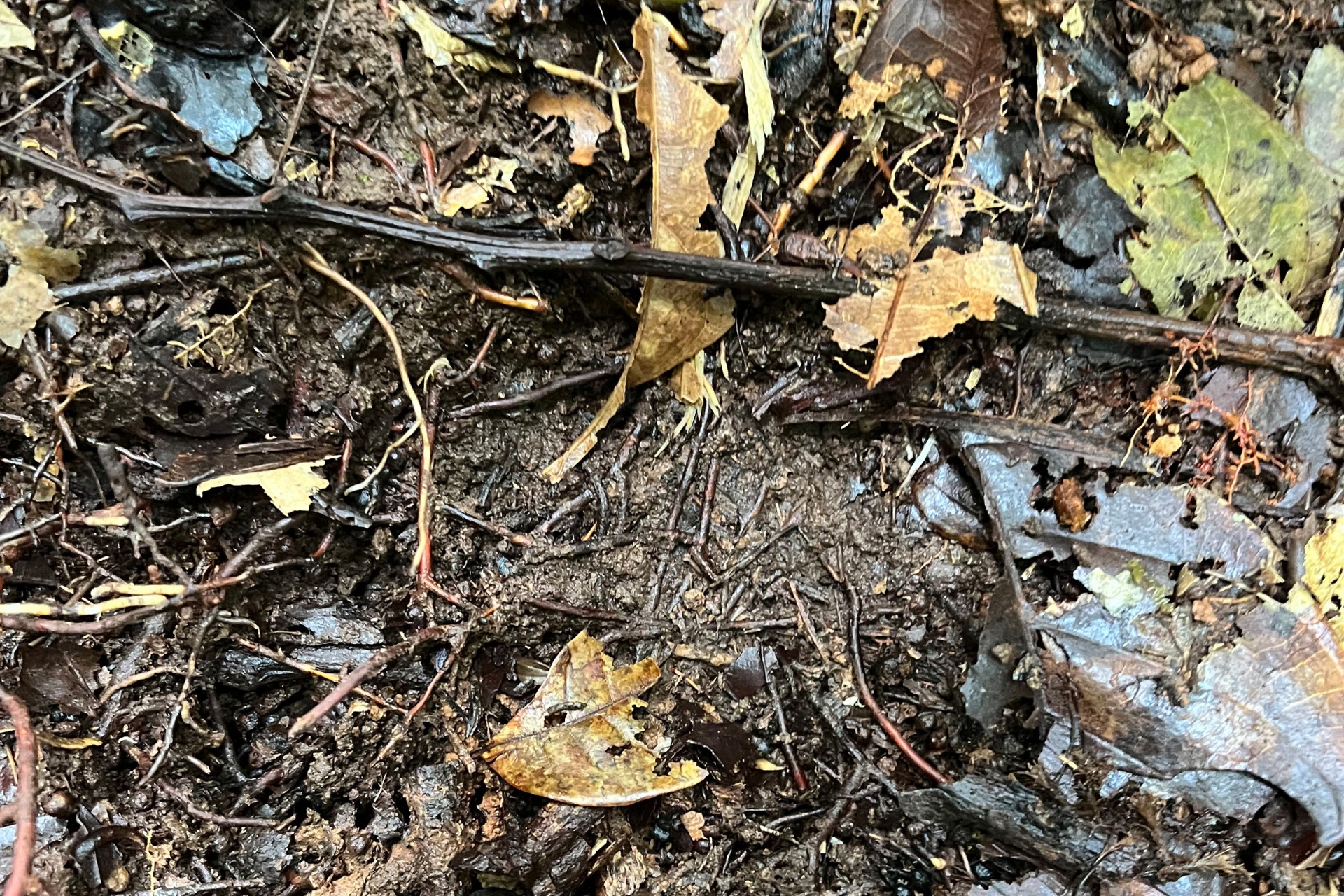
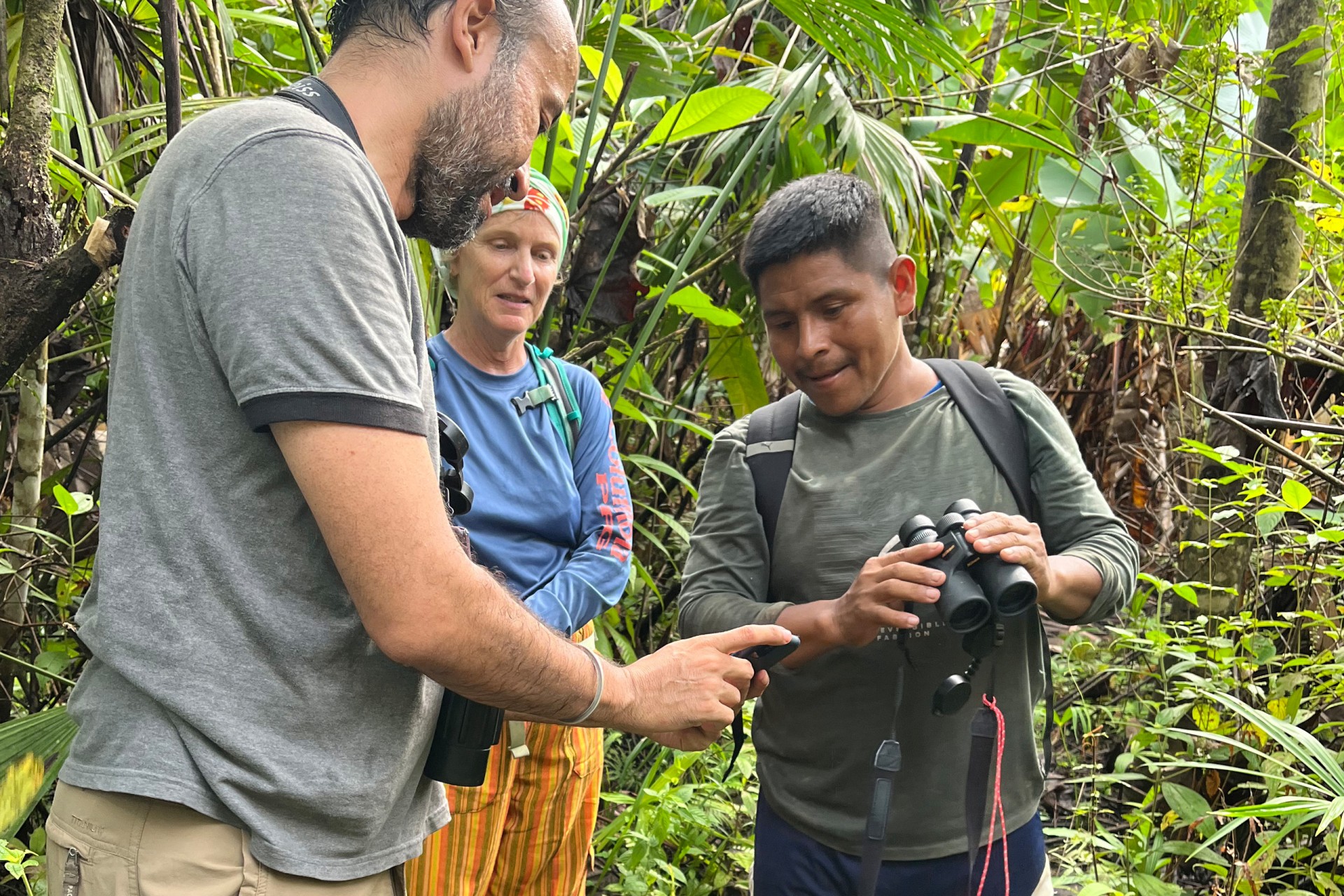
This was our first look at the forest that captured Catherine’s imagination. She pointed out a common, transparent fern, Trichomanes, well known to the Emberá, but new to science. Jorge Valdes, a botanist from the University of Panama herbarium, taught Brais the name of a slender but ancient plant called Selaginella arthritica. Darién identified the caw, caw, caw of a red throated caracara. Delfino Olea, a technician on the biodiversity team from Buena Vista, deftly located a track of a giant anteater, an animal I’ve only heard about despite my 30 years in the country. Yesterday, we checked out the images captured on the memory chip from the camera trap in the Manené plot. During a two-month period, it recorded over 1400 images…everything from a big band of white-lipped peccaries to red brocket deer, a tiger heron, and a tinamou, pacas, coatis and lots of agoutis, but the forest seemed empty at this time of day.
We descended a long, steep, and muddy slope and after a couple of stream crossings, came down to a fern-rimmed pond and rice field on the outskirts of Buena Vista, a tiny community of scattered houses along the rivers’ edge. But we didn’t stay for long: the boats, which had crossed several more sets of rapids while we walked, were waiting to take us on the final leg of our journey to Buenos Aires, the settlement closest to the Colombian border.
Shooting the rapids
Buenos Aires
When we arrived, we set up our tents on the raised platform of an empty house while Catherine and Lupita Omi, the project coordinator, prepared for a meeting.
Back at the rancho, the communty’s Noko, or headman, presided at a table with Cacique Casama and President Chamoro, who had joined us for this visit to the community. A grey-haired gentleman sitting in the corner asked that everything said in Spanish be translated into Emberá.
Catherine presented her plan for computer training and explained that trainees would have to volunteer their time. She made the case that the project can’t pay for everything, comparing the budget to a household income. Just as if you buy an outboard motor by sacrificing some other expenses, the project can pay for people to learn how to use computers but would have to limit the number of people who could learn. She suggested that each community could choose the people who would participate in computer training and said that maybe one day these news skills would make it possible for her to employ them. She is happy to learn from the Noko that all the young men of Buenos Aires are already working with Bacuru Droa. While we talk, Mayin Garcia and another cook have been making dinner for everyone in the cookhouse next door: giant, steaming pots of boiling plantains and hot oil to fry meat, like deer and peccary, propped up over the coals on triangular arrangements of logs. Catherine says that villagers consume relatively little meat in relation to the huge forests that surround the communities. The villages along the Balsas have not changed significantly in size (or carbon footprint) since satellite images were first available in 1986.
“The only plan is that there is no plan”
When Catherine asked my boss to send a writer on the trip, I waited to hear more, and finally decided to ask for an itinerary. Catherine wrote back, saying “the only plan is that there’s no plan,” and now it was becoming clear why. During the night the storms continued and by morning the river had become a furiously frothing, mountain-moving frappé. Judging from the flow and color of the tributaries the Cacique and friends determined that the Balsas would continue to rise. A cayuco crash into a treefall could be life-threatening. So he announced that we would walk in the forest in the morning, and then head back to Manené, rather than staying here for another day.
Big trees, satellite mapping, deforestation
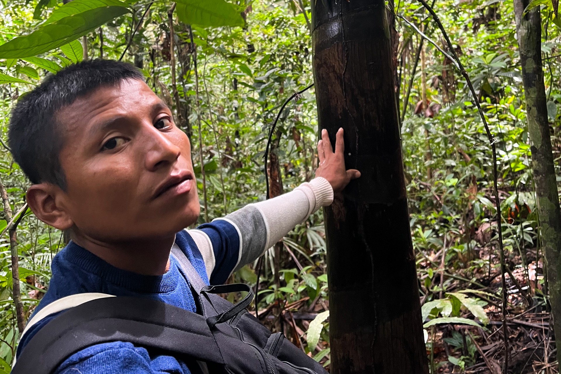
With their colleague Mattias Kunz, the Potvin-Barrios team has scoured satellite photos of this area to identify the biggest trees in the plot. The next step would be to find them on the ground to confirm, so we set out from Buenos Aires, walking through a huge thicket of beefsteak Heliconia named for their dangling red flowers that look like sides of beef. We arrive at one of the sites identified in the satellite photos as having exceptionally big crowns. In previous trips, Alexis has led a crew of botanists on the ground who were able to identify and measure over 60 of the trees located in the satellite photos.
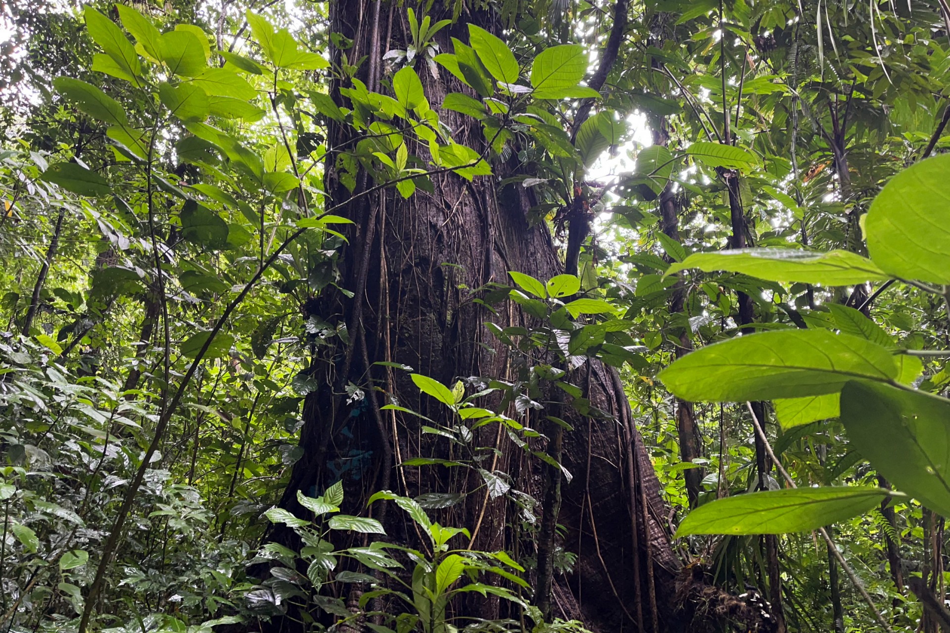
The maximum height reported for Dipteryx oleifera in Panama is 40 meters. Here, they seem to be much bigger—some individuals may be 20 meters taller. Such exceptional heights are common across the Balsas landscape possibly because of the clayish soil or the constant cloud cover that keeps the ground moist even during the dry season.
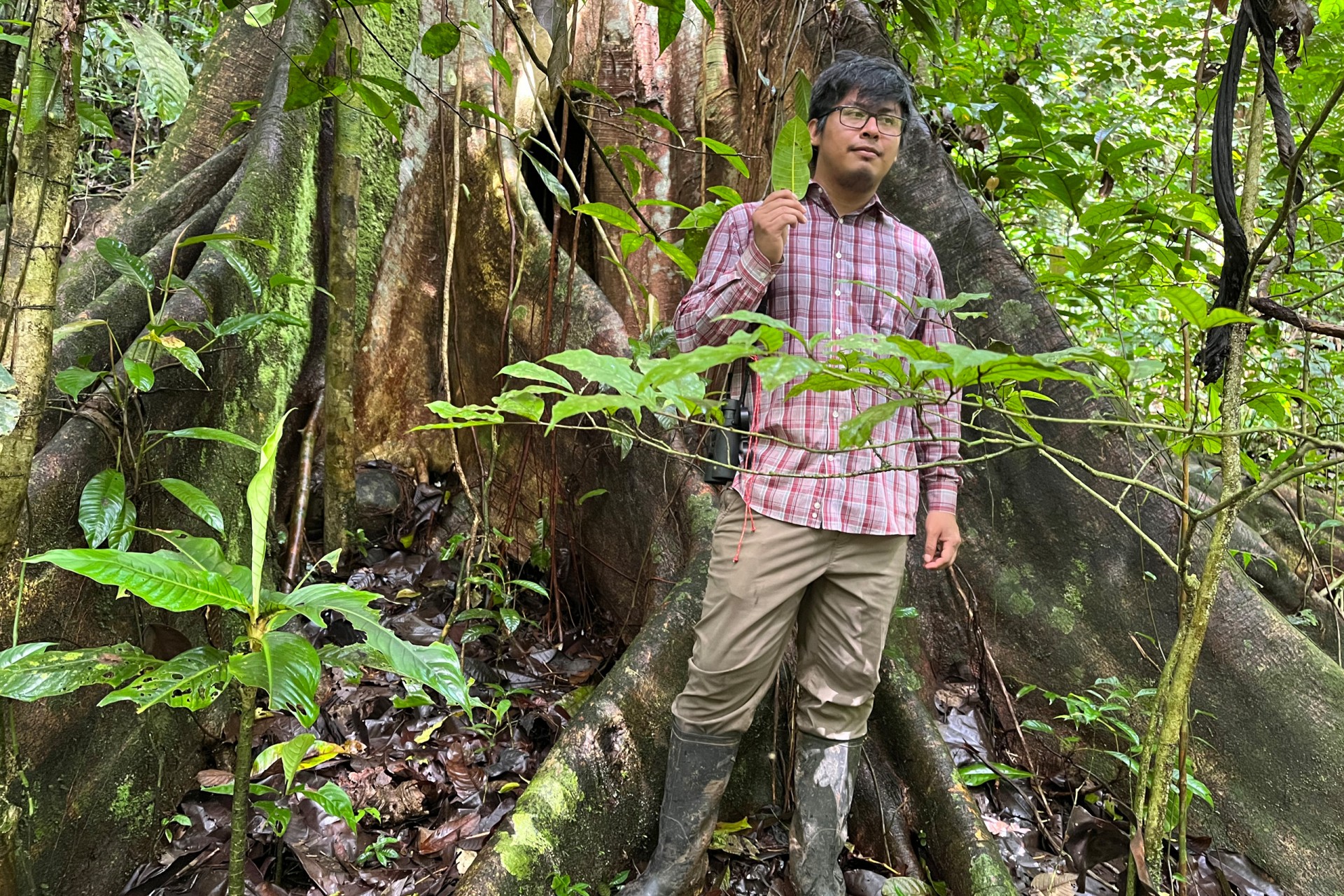
Jorge Valdes, the University of Panama botanist, points out a strangler fig (Diwa in Embera or Ficus insipida in Latin) and what the Embera call a false fig (Diwapá or Ficus yoponensis). He says that participating in the Manené project is transformational for botany students who rarely have the resources to go on field trips. He uses a ForestGEO online tool to identify trees to species as well as the unique expertise of STRI’s botanists Rolando Perez and Salomon Aguilar. If he knows the family of the tree and the location, the tool provides a list of potential species in the area. This however is challenging in Balsas where many species are either unreported in Panama or unknown to science.
We cross several streams on our way back to the village. Along one stream bank, we find the huge carcass of a fallen Dipteryx, almost two meters in diameter and hollow in the middle. On a previous trip, the team found a huge fallen Ceiba (shown here) and were able to accurately measure its girth and height and calculate the carbon it stored.
Downriver
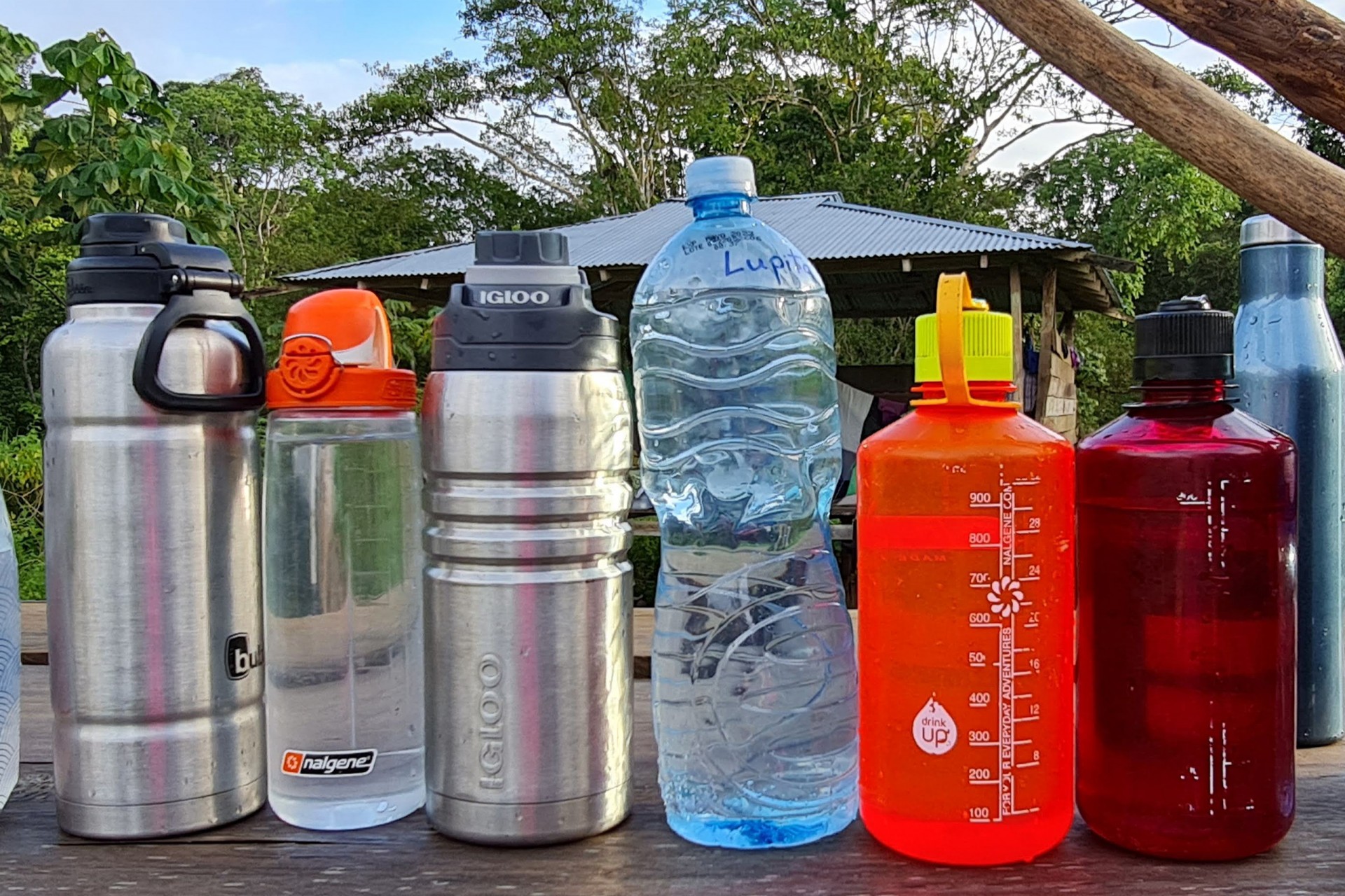
The constantly changing plan made it hard to pack, but as we waited for the water level to fall in the afternoon and for Catherine to visit her old friends, I asked what gear people had with them (download pdf here). After lunch distant thunder from yet another approaching storm marked our departure. The boatsmen skillfully maneuvered our three boats around a huge, uprooted tree shooting downriver alongside us. As we again approached the rapids, they swung the boats all the way around, pointing the bows upstream and pulling in along the shore. We passengers scrambled up and over a steep hill, while the crew piloted through a big standing wave around a vertical rock wall which had once taken the life of a child, picking us up on the other side.
By the time we reached Manené, big raindrops were beginning to fall. Alexis’ wife, China, said that the night before the river had breached the bank. Everyone seemed to think we should go back to Panama City while we still could.
Photos do not do justice to the size of these enormous trees.
Baby peccary befriends Heather Gray as its young owner looks on
Back to the City
SENAFRONT sent a fast boat to Tucutí to pick us up. The river level gauge, which was almost completely exposed on the way up the river, is now at the seven-foot mark and the zig-zag dock is submerged. Seeking sea level with a vengeance, this liquid highway carried us back down to Puerto Quimba much faster than it took to go upriver.
We got back just in time, because tomorrow Panama’s largest labor unions plans to shut down the country to protest high gas prices and government corruption—the same corruption that looks the other way as truck after truck heads down the highway, loaded with huge trees harvested from the forest. Another kind of flood is coming—a flood of humanity, and we may all be swept along, but Catherine hopes that by working with the Balsas Emberá to monitor the forest, there will be hope for a better future in the region.
The project’s website at McGill University
https://www.mcgill.ca/potvin-lab/bacuru [English]
https://www.mcgill.ca/potvin-lab/fr/bacuru-droa [Spanish]
Previous stories about this project
https://stri.si.edu/story/forest-caretakers
Logging trucks


