Why are
monkeys
smart?
Monkey movements
explained by forest
structure in Panama
Barro Colorado Island
A tree-climbing research fellow created 3-D maps of monkey movements on Barro Colorado Island to better understand how forest disruptions by human activity can affect monkey mobility.
Why are monkeys smart? Some say it is because they make mental maps for efficiently travelling through the forest canopy from one fruiting tree to the next. Kevin McLean, former fellow at the Smithsonian Tropical Research Institute, and colleagues successfully used LiDAR (light detection and radar) technology to map the tropical forest canopy on Barro Colorado Island in Panama and to predict the movements of three monkey species.
“Everyone visiting a tropical forest wants to see monkeys,” said Patrick Jansen, staff scientist at STRI. “In addition to attracting tourists, monkeys play important roles in the forest as they disperse seeds. Kevin’s work helps us to predict how monkeys are affected when the forest canopy is disturbed by human activities such as logging and road building.”
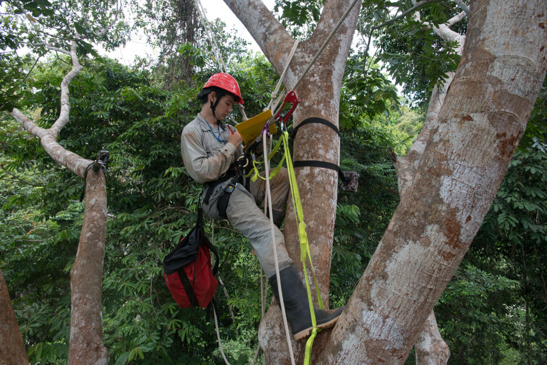
Kevin McLean takes notes while installing camera traps in a Dypteryx panamensis tree on Barro Colorado Island on March 13, 2014. Photo: Sean Mattson/Smithsonian
To create three-dimensional maps of the tropical forest canopy on the entire island, a team from the Carnegie Institution for Science flew over the forest in a plane equipped with airborne LiDAR equipment. Based on the map they were able to estimate, at different points in the forest, how mature the trees were, whether a monkey would be able to jump from one branch to the next (lateral connectivity) and whether there would be something to land on if it did (substrate availability).
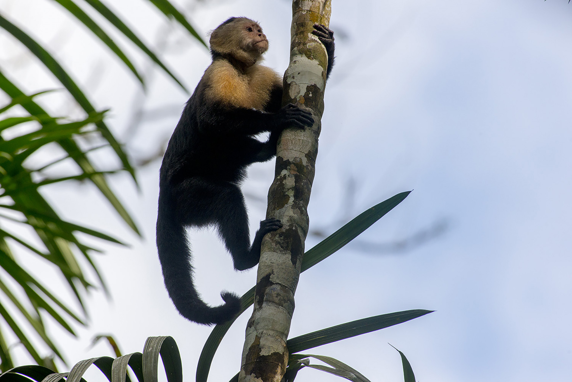
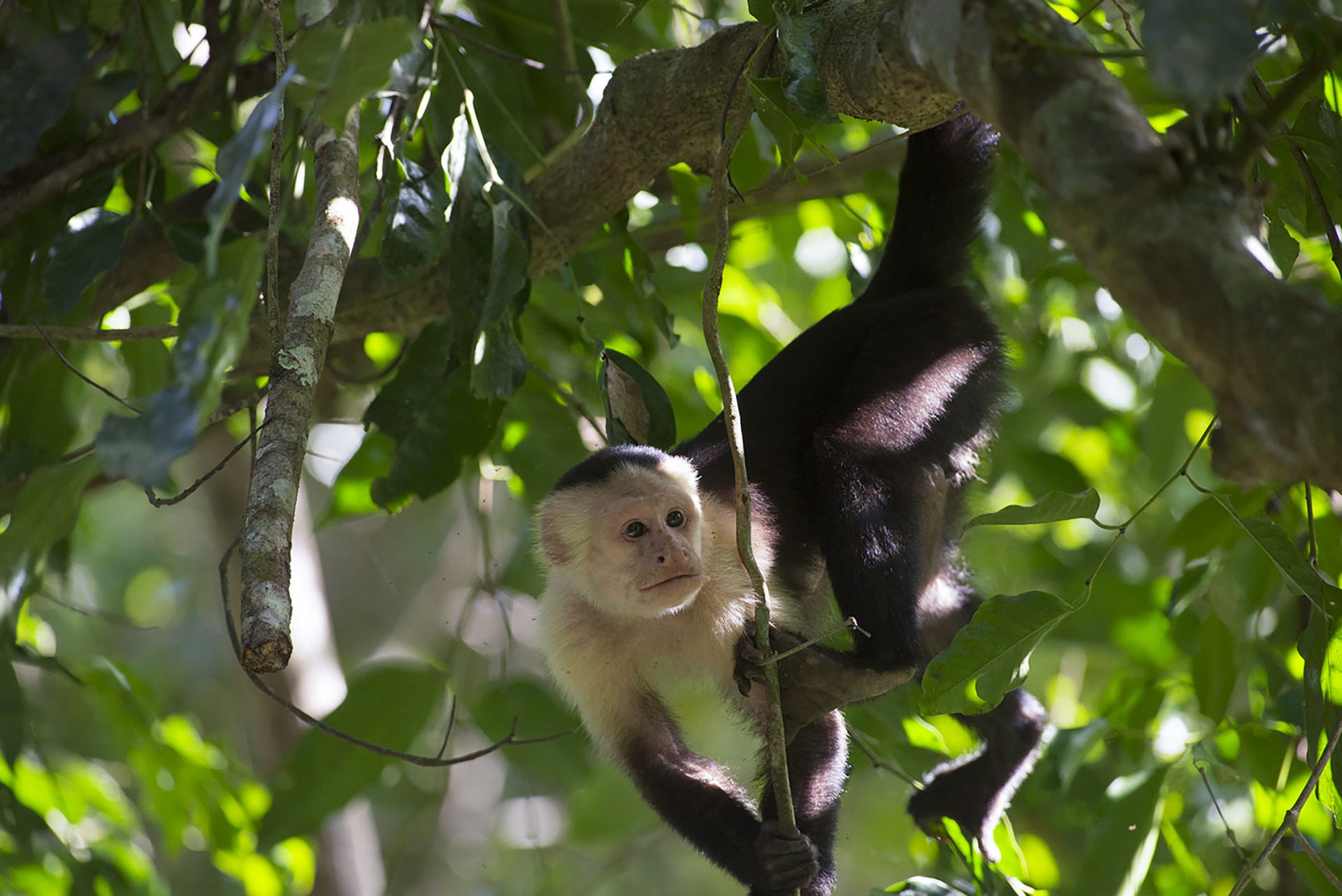
McLean, as part of his doctorate at the Yale School of Forestry, used GPS tracking data on three monkey species to determine which canopy properties best explained the movements. Meg Crofoot, research associate at STRI and assistant professor at the University of California at Davis, offered GPS location data from a high-ranking female white-faced capuchin monkey (Cebus capuchinus). Christina Campbell, professor at California State University, provided GPS tracking data for black-handed spider monkeys (Ateles geoffroyi). Mariah Hopkins from the University of Texas at Austin contributed movement data for mantled howler monkeys (Alouatta palliata).
The three monkey species moved in very different ways. Capuchins and spider monkeys that eat a high-energy omnivorous diet of fruit, bird and reptile eggs, small animals and insects moved quickly through the forest—at almost 5 meters per minute. Howler monkeys eat mostly leaves. As a result of their low-energy diet, they usually move more slowly, only about 3 meters per minute on average.
Capuchins moved farthest every day, more than 3,000 meters; whereas spider monkeys moved only 2,500 meters and howler monkeys just over 400 meters. Spider monkeys moved all around the island, whereas capuchins and howler monkeys stayed in smaller areas.
McLean found that spider and capuchin monkeys preferred the taller trees characteristic of mature tropical forest. In fact, spider monkeys seem to stick to certain routes through the forest. They may need mature, thick-canopied forest in order to take advantage of their ability to swing through the trees. The factor most important in predicting howler monkey movement in a mature forest area on Barro Colorado Island was canopy connectivity at 10–20 meters above the forest floor.
McLean will continue his work to understand and protect canopy mammals by camera-trapping in large-scale forest monitoring plots in Ecuador and Malaysia, both parts of the Smithsonian’s Forest Global Earth Observatory network of 64 forests in 25 countries. You will hear more from McLean soon, as he also received a Fulbright-National Geographic Digital Storytelling Fellowship in July.


